


Like a trusty car and a full tank of gas, these cookies keep everything running smoothly. They power core features like secure login, navigation, and yo

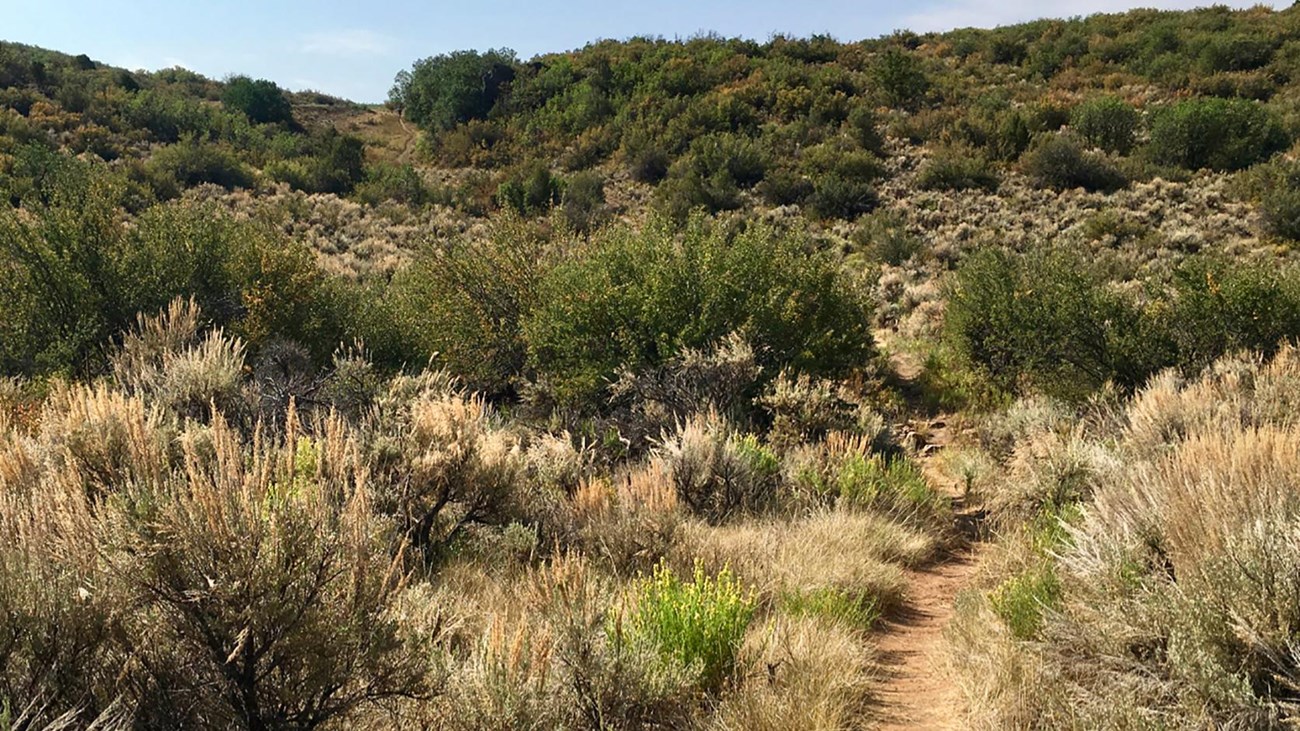
 Deadhorse Trail
Deadhorse Trail
About
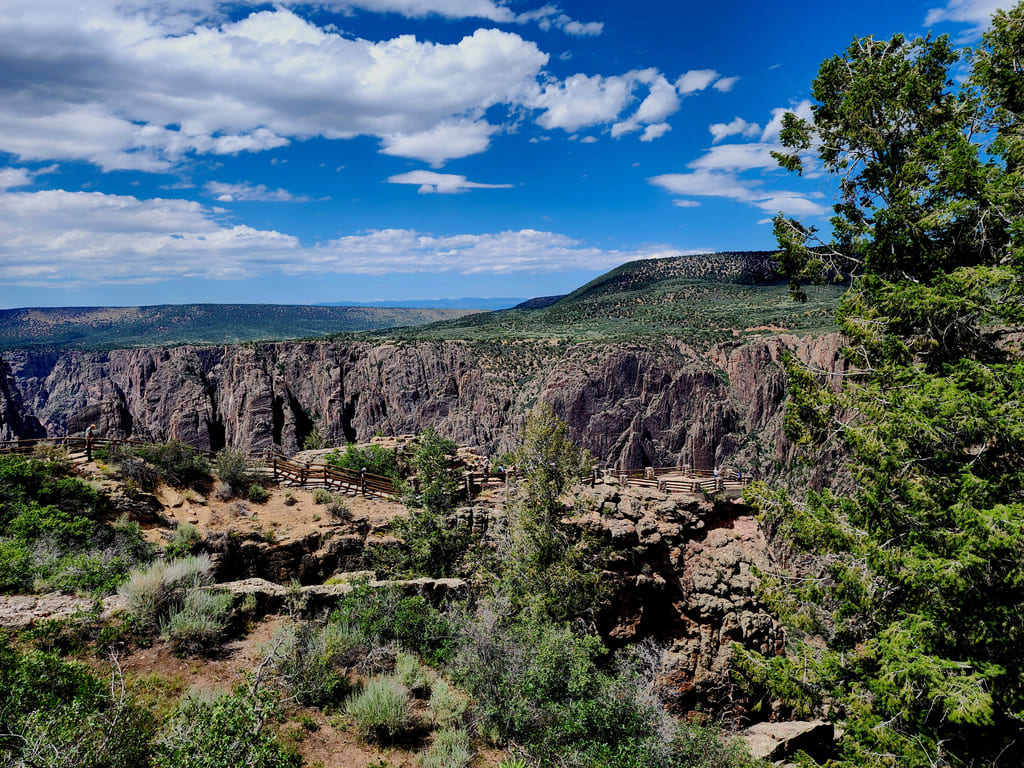
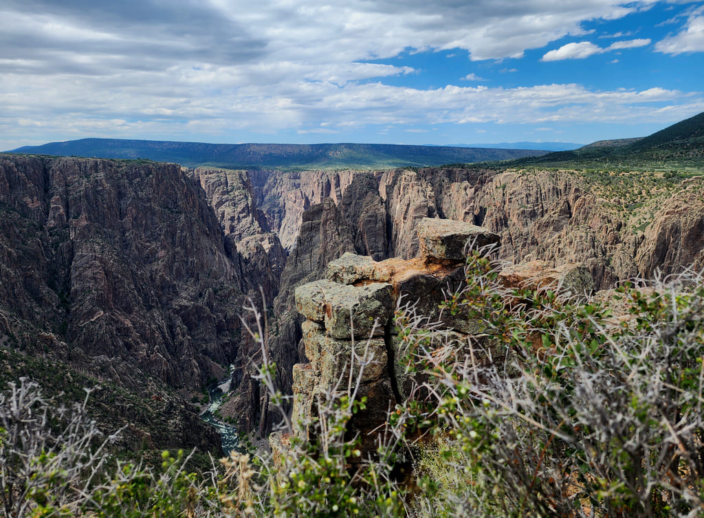
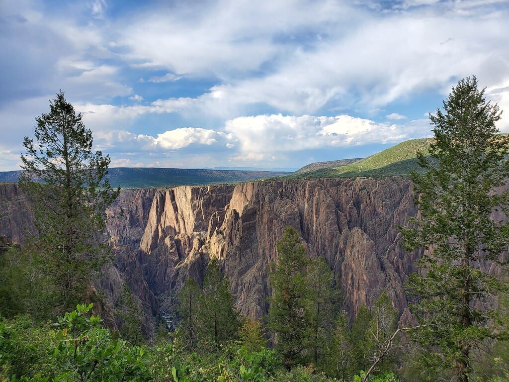
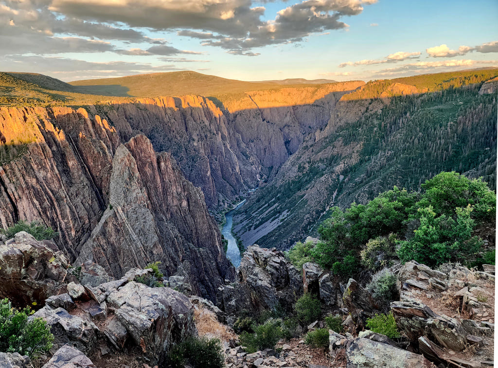
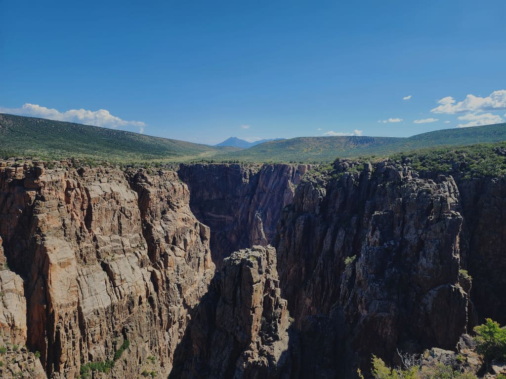
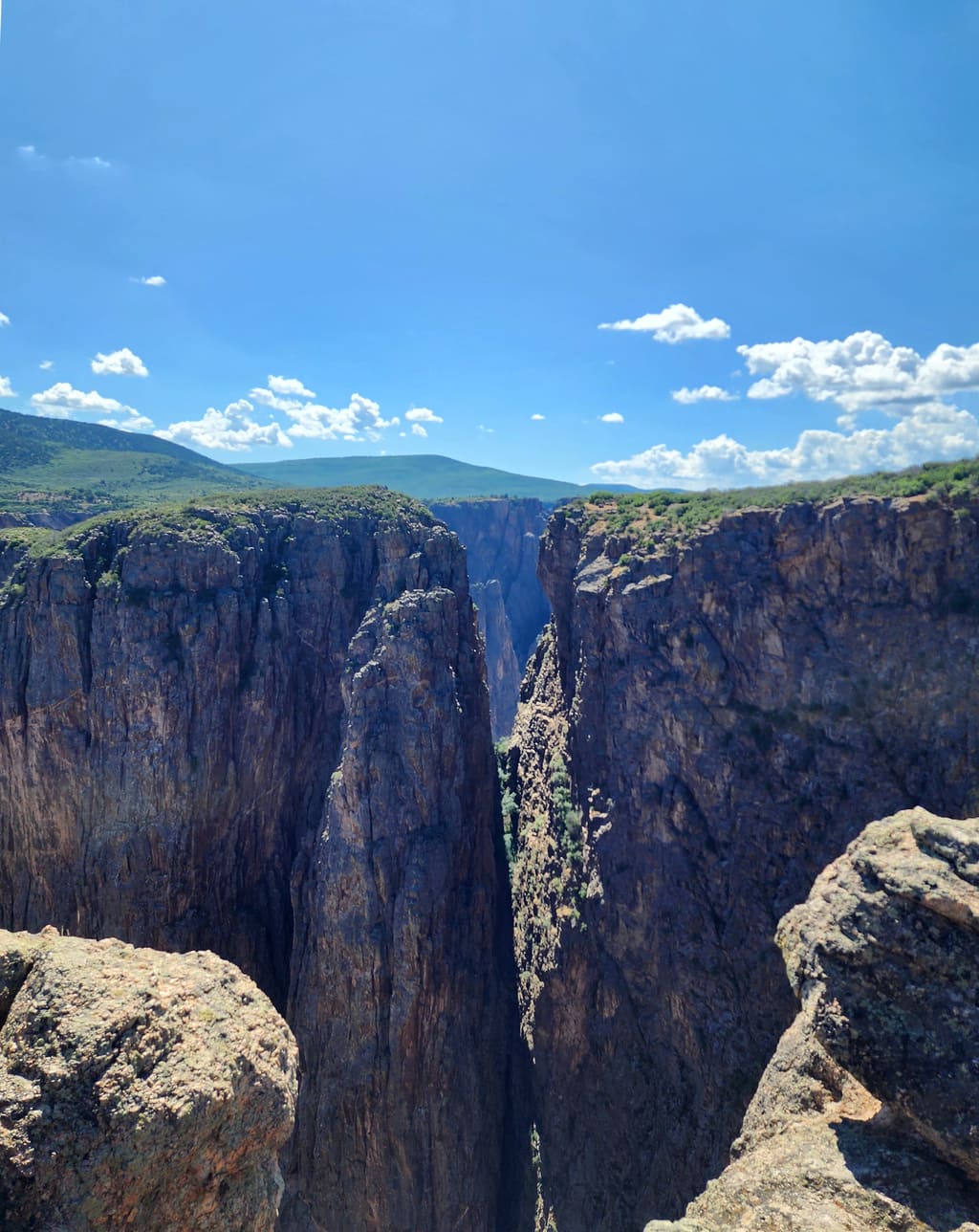
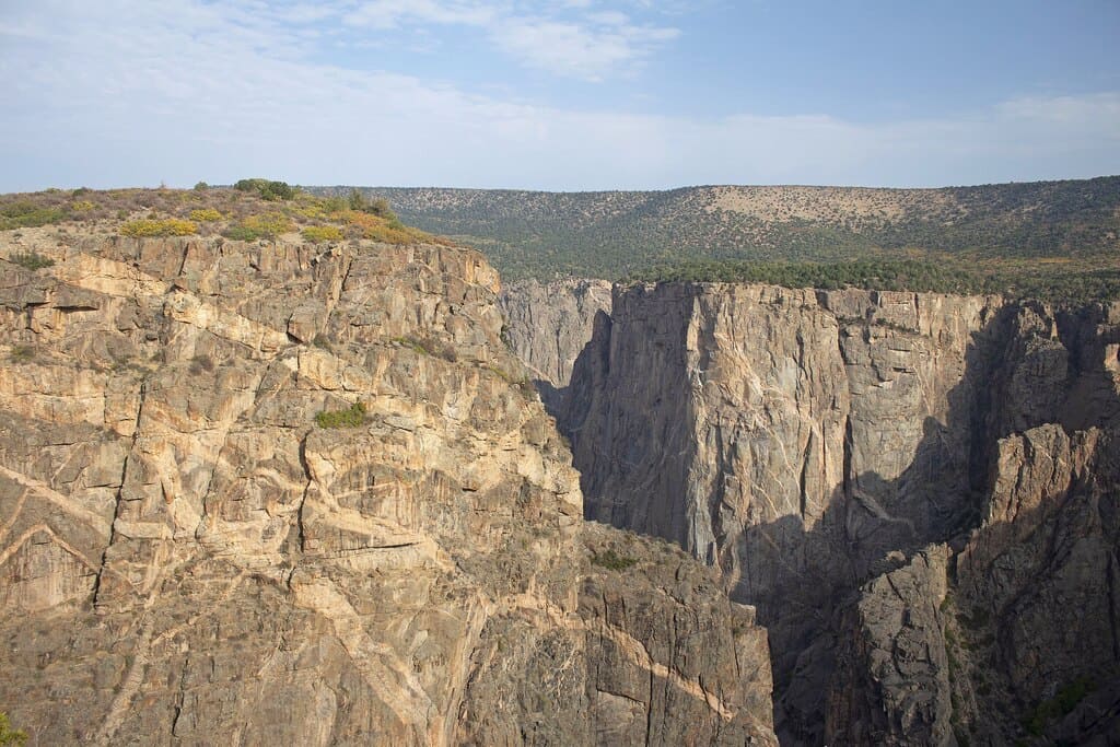
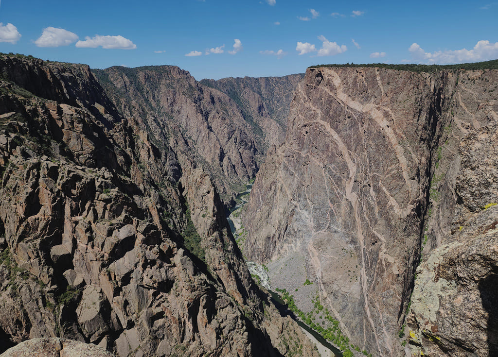
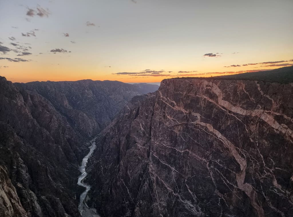
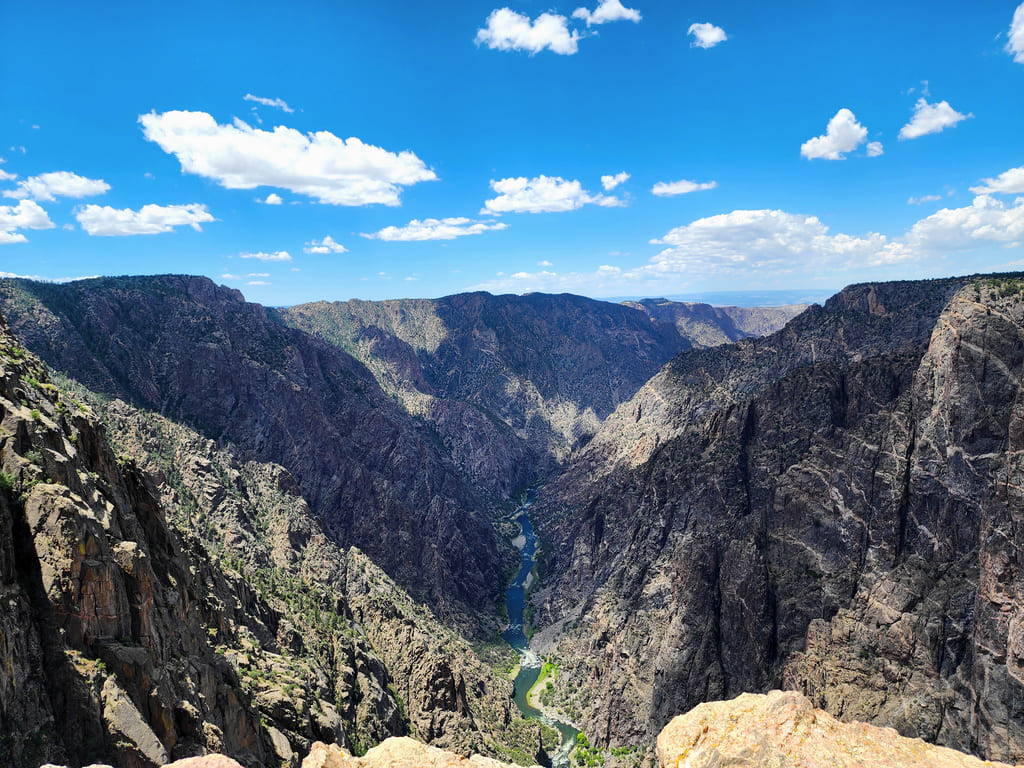
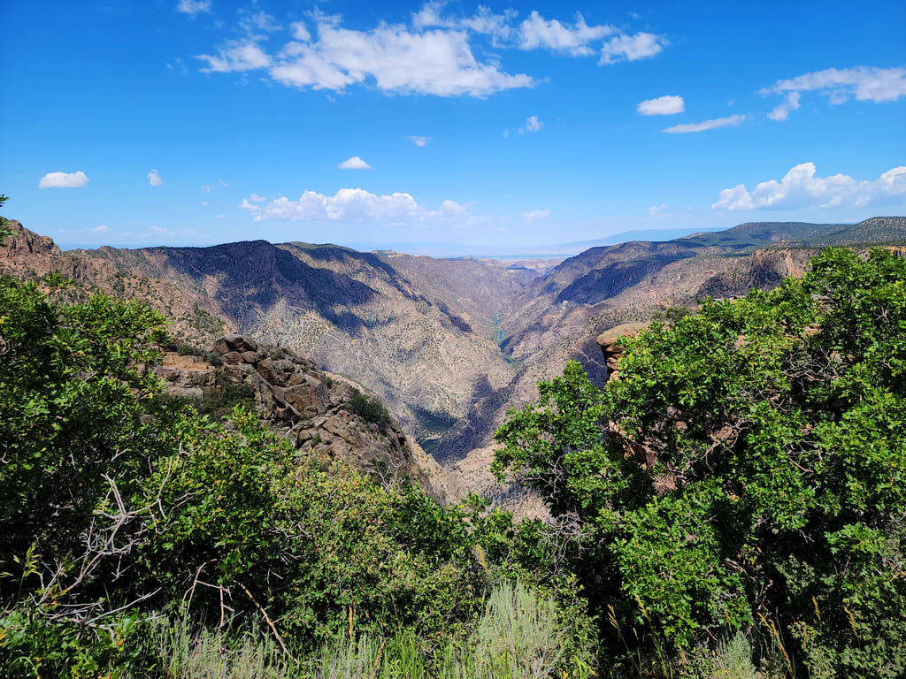
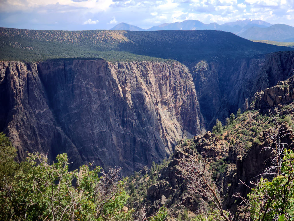
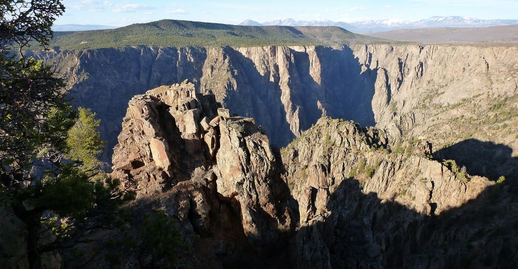
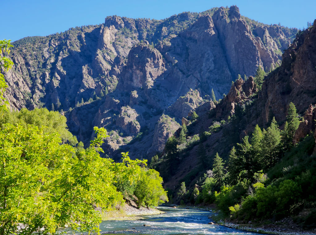
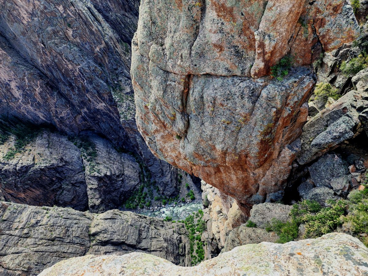
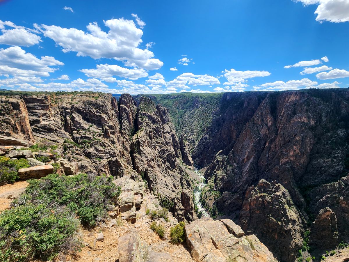
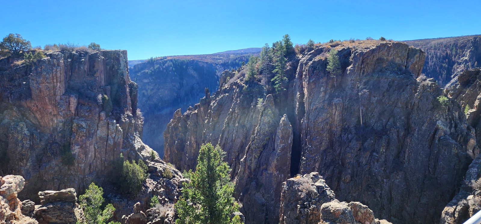
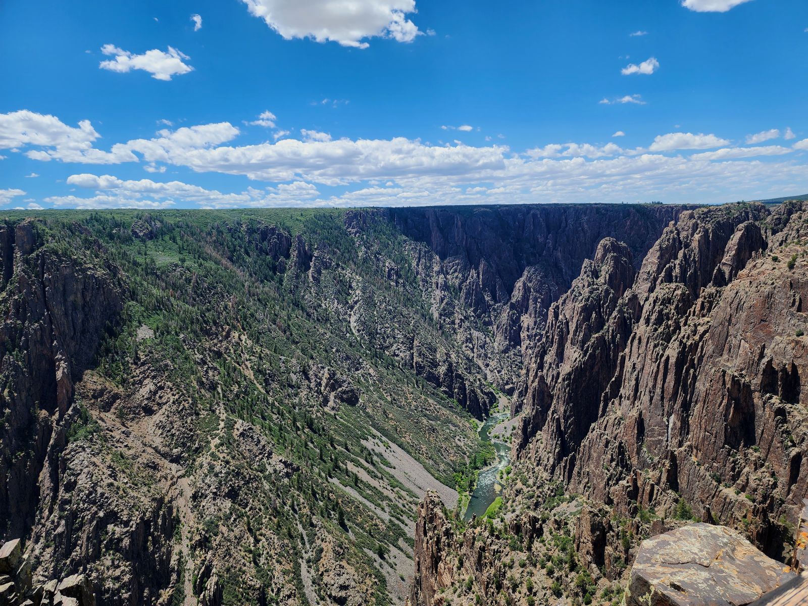
Deadhorse Trail follows an old service road once used by rangers and ranchers to reach stock ponds and fence lines. Today it’s the only North Rim trail open to horseback riders. The hike is about 6 miles round trip, mostly moderate with gentle grades. Along the way you’ll pass a spring-fed pond — once vital for livestock, now a wildlife stopover — before the trail narrows and winds to an overlook above Deadhorse Gulch. From there, you’ll spot the Gunnison River far below, with East Portal Road and Crystal Dam in the distance. Plan for 2–3 hours, bring water and sun protection.
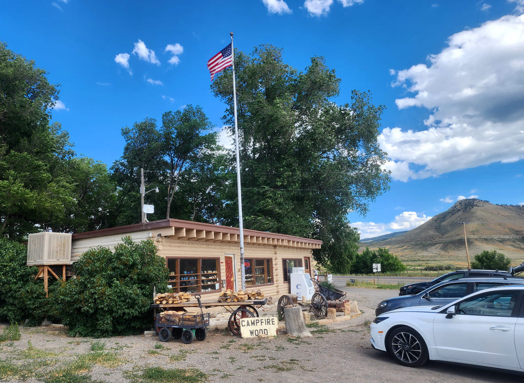
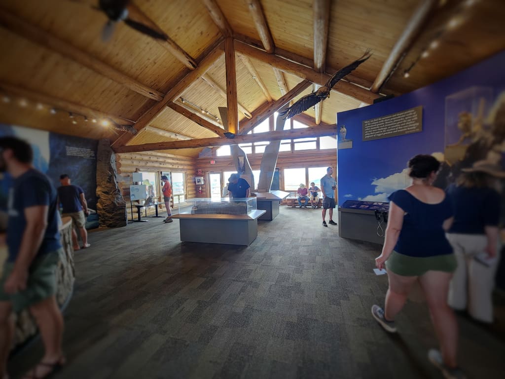
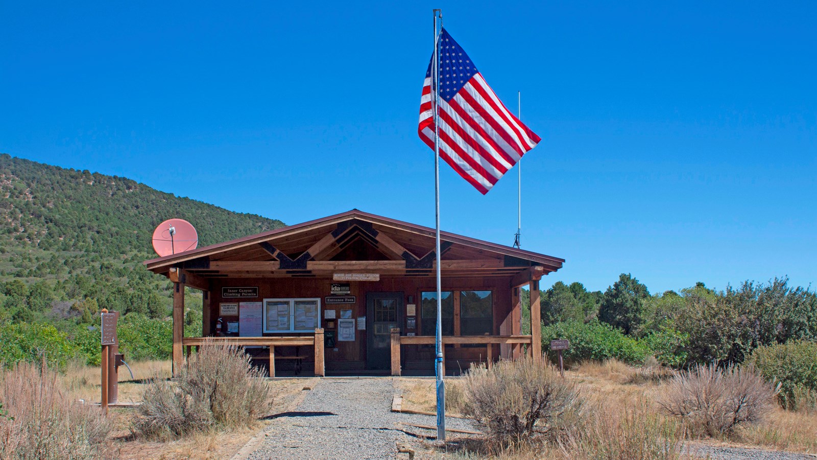
Black Canyon Corner Store
Postcards? Check. Fossils? Check. Firewood? Check. This small, locally owned...
Read More
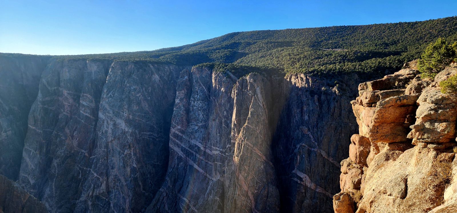
Devils Lookout
Devil’s Lookout Trail, a half-mile roundtrip that offers unbeatable views...
Read More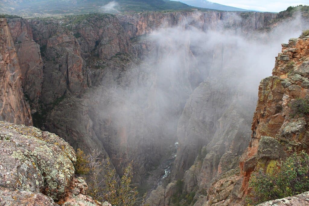
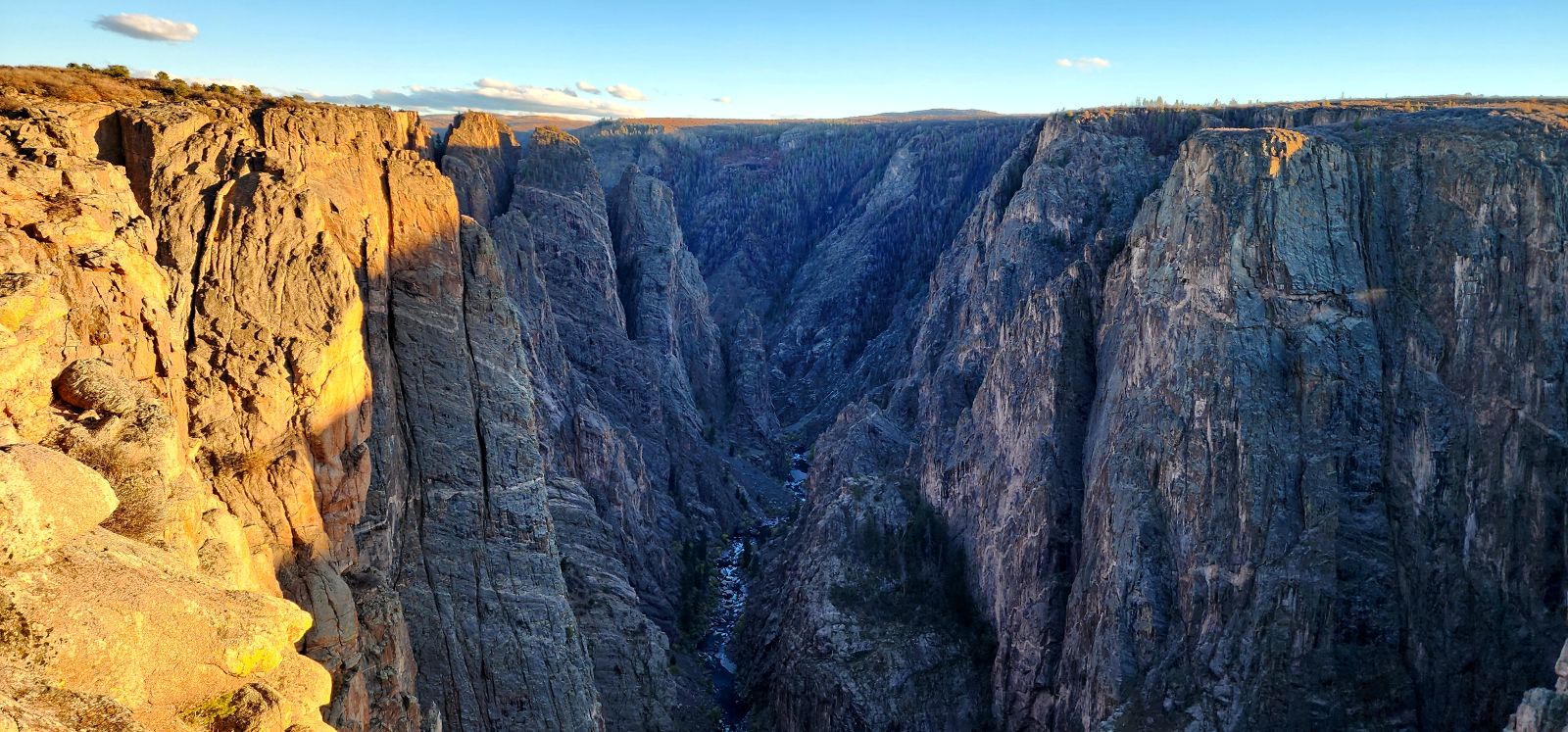
Warner Point Nature Trail
The Warner Point Nature Trail is a 1.5-mile, moderately difficult...
Read More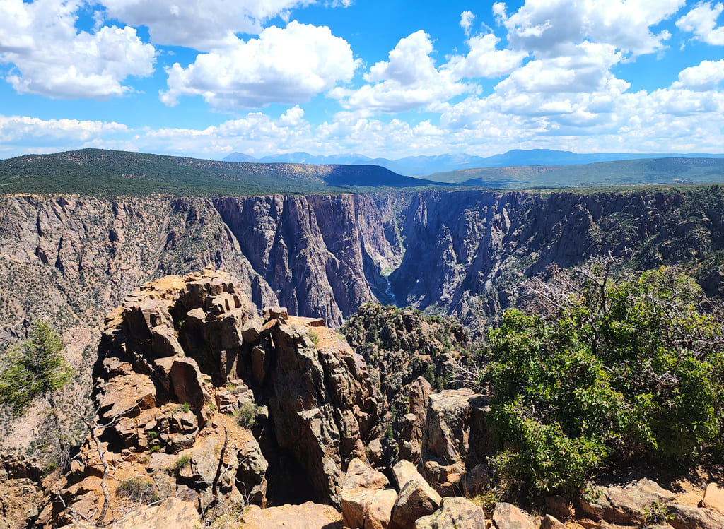


Join the Ride!
Our next stop - your inbox! Subscribe to our email list for travel tips, inspiration, special offers, and more!
About Us
At Shaka Guide our goal is to connect people, with places, through stories. Our team creates immersive, self-guided audio tours that connect travelers with the history and culture of over 85 destinations across the country.


© Shaka Guide LLC 2026
We use cookies  to fuel your ride
We use cookies to fuel
your ride